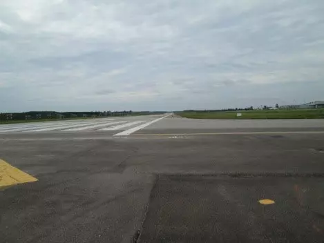
Conduct a detailed survey within the project area, such as land boundary markers, fences, various structures such as buildings, bridges, etc., including public utilities such as electricity, water, telephone, drainage system, both types and sizes, in the project area and surrounding areas. Conduct a survey of water levels within the area to cover the project area and the area surrounding the project area.
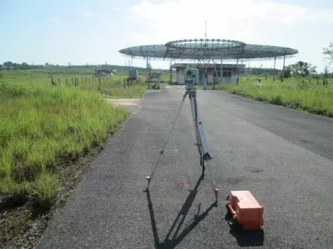
From the data recorded in the data recorder, it will be transferred to the computer with the survey program to calculate and process the data to be mapped with the DR-Link+ map program in the form of a DXF file, then the map will be generated in the AutoCAD program and additional details will be added to the map, such as the scale frame, project details, various symbols and north direction, the table of control pin coordinates, the table of land boundary pin coordinates, the map showing the project location and the details expanded according to the requirements, such as the height of the electric poles in the project area, the cross-section of the drainage ditch or the canal adjacent to the project area.