

- Survey Engineering

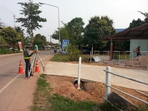
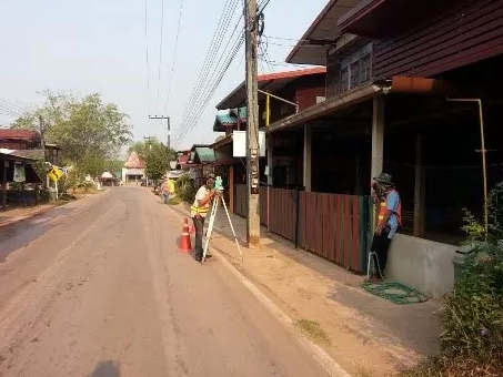
Establish horizontal and vertical evidence markers with GPS and survey the control network covering the project area to be used for surveying and collecting details of the topography in the...
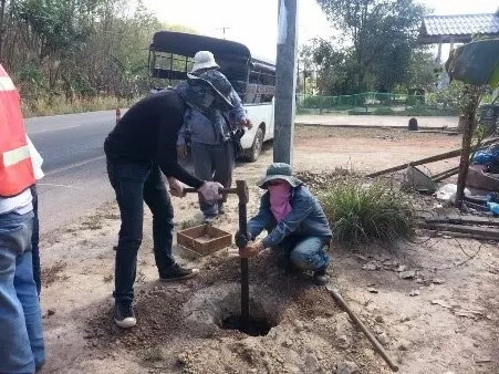
GPS control evidence pins were created along the route in pairs, approximately 5 km apart per pair, for a total of 10 pairs.

Surveying and collecting details of land boundary conditions as specified by the employer, including various buildings and public utilities. Surveying the level values within the project area and around the...